Canada Day Weekend 2007
In Attendance:
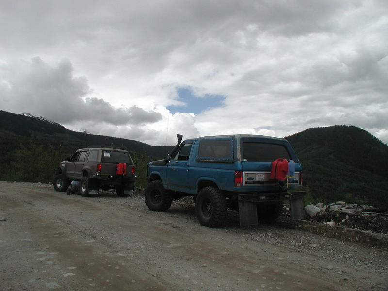
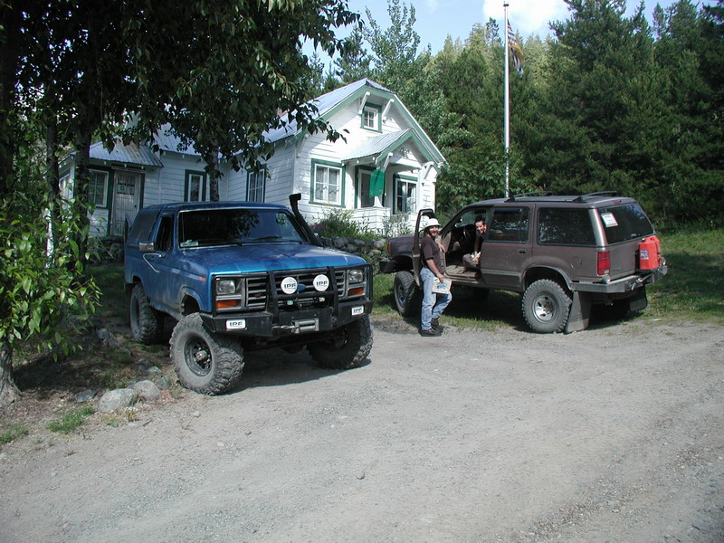
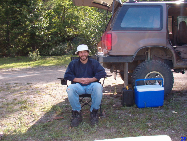
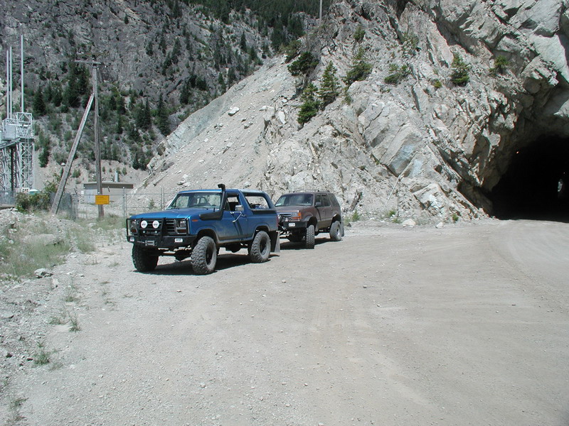
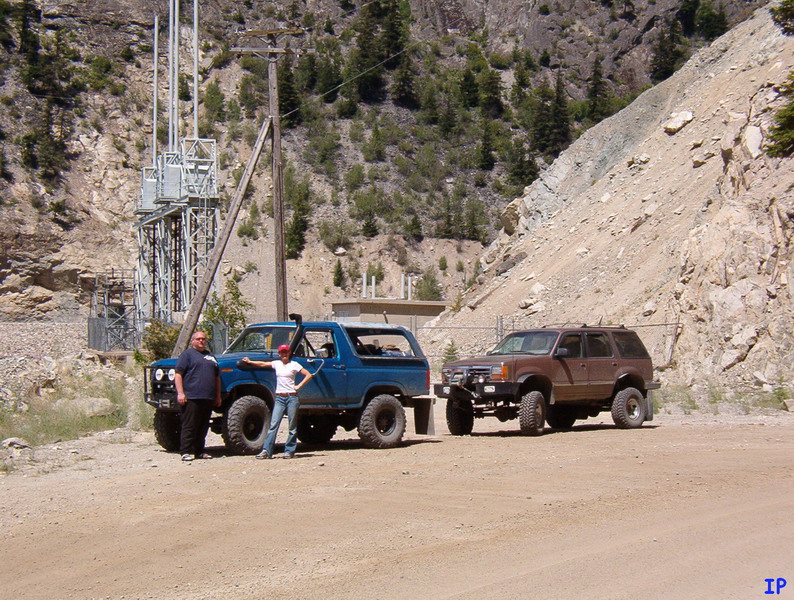
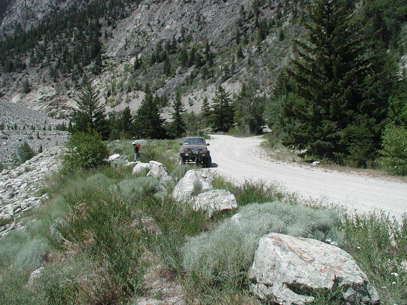
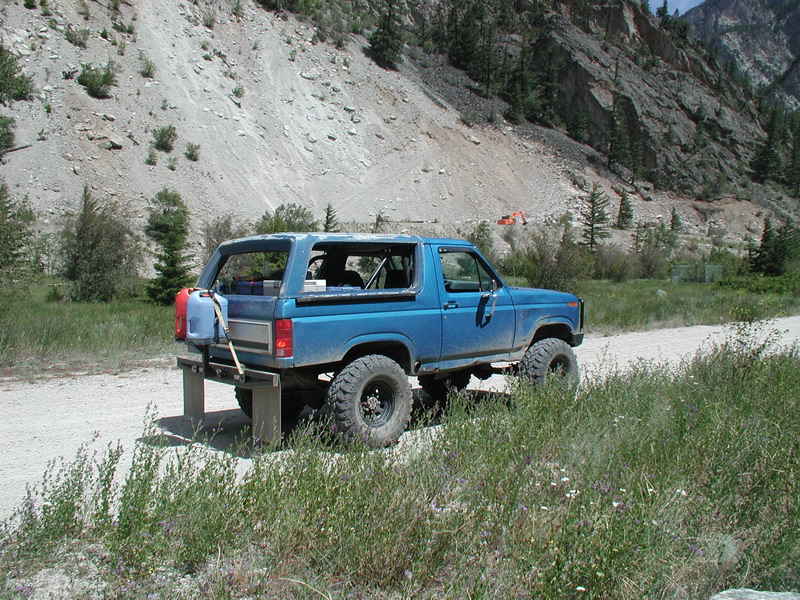
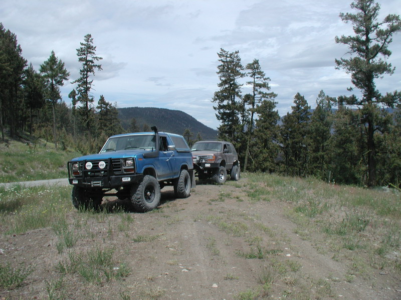
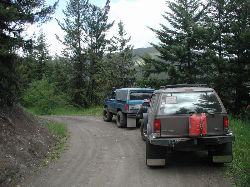
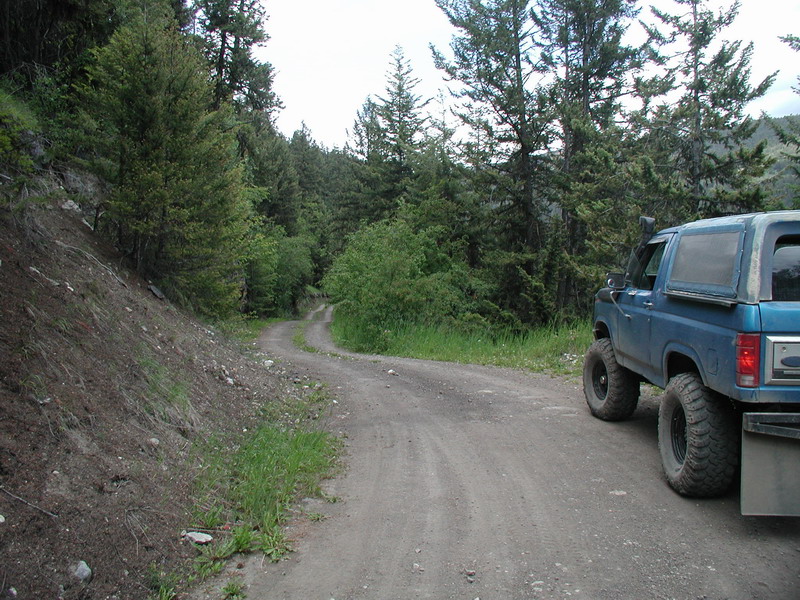
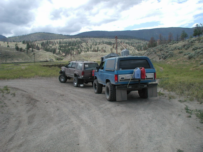
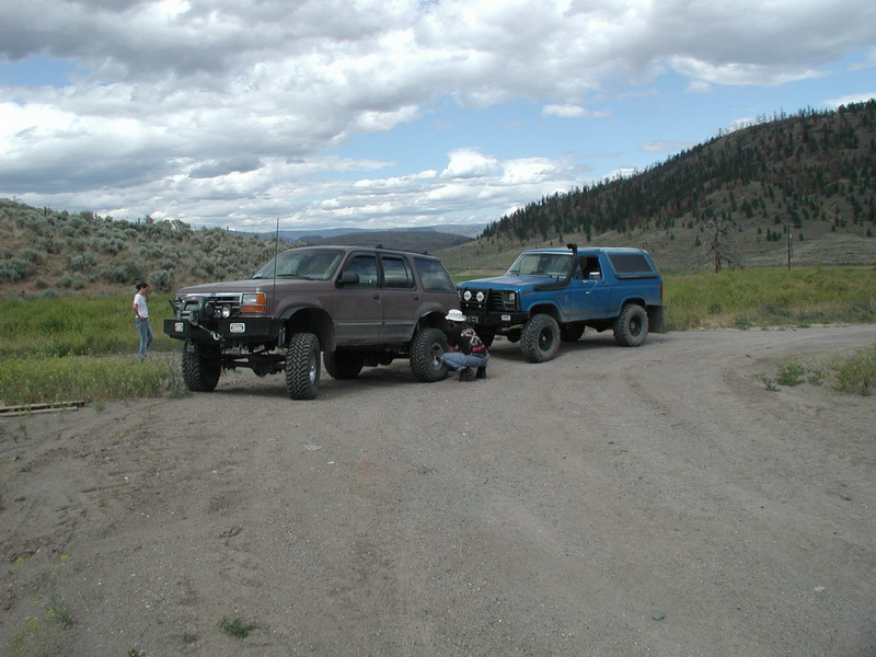
Chris - Ford Bronco (blue)
Indir & Marta - Ford Explorer (brown)
This weekend was mainly about getting out of town for four days and doing some camping and trying to keep off the pavement as much
as possible. Our plans changed a few times, but for the most part, we were just playing it by ear (and Backroad Mapbook).
Click here for maps showing the route we took on this trip.
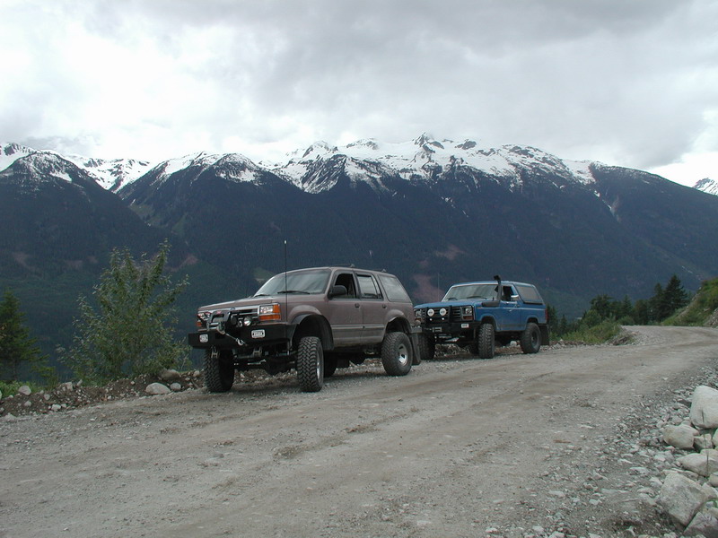
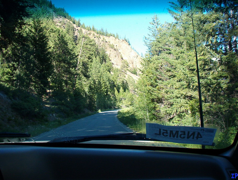
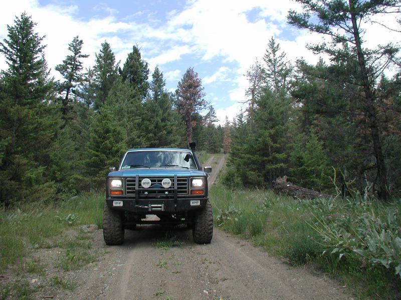
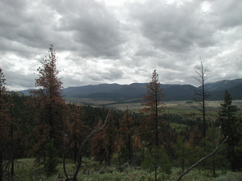
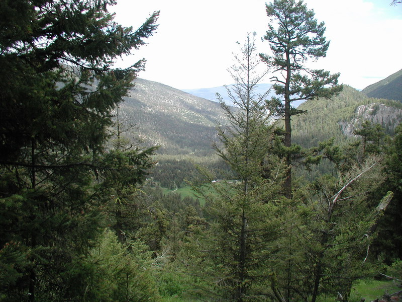
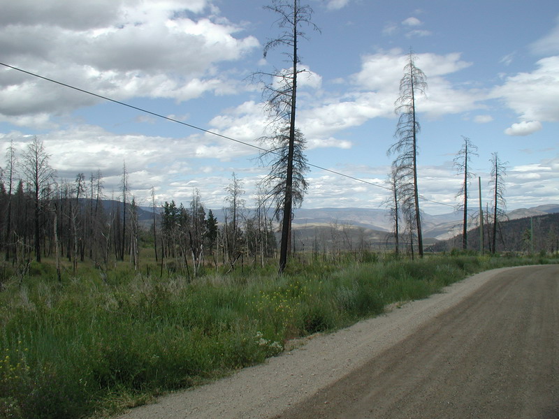
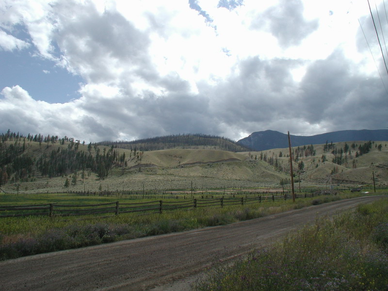
A few KM up the Hurley River FSR.
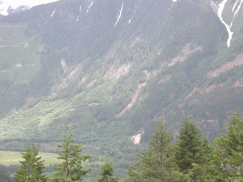
You can barely see it, but there is a helicopter doing some logging.
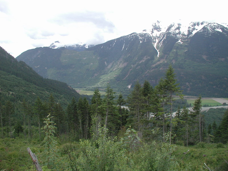
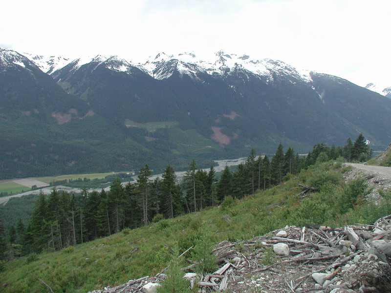
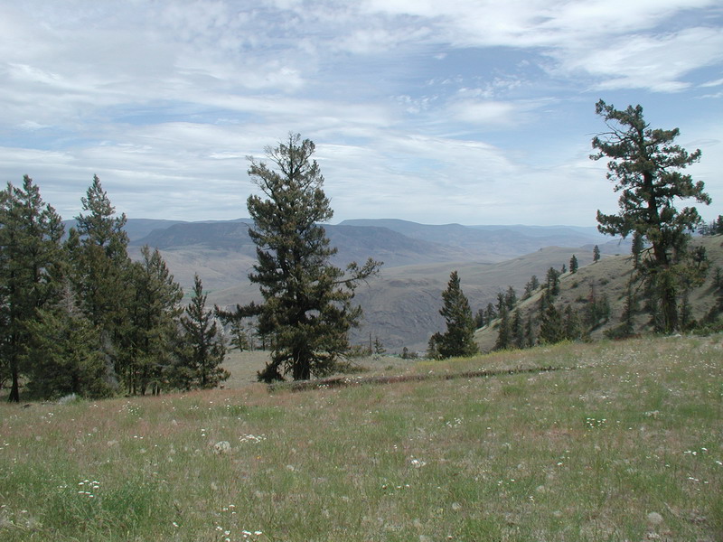
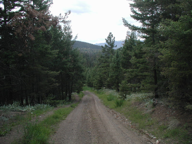
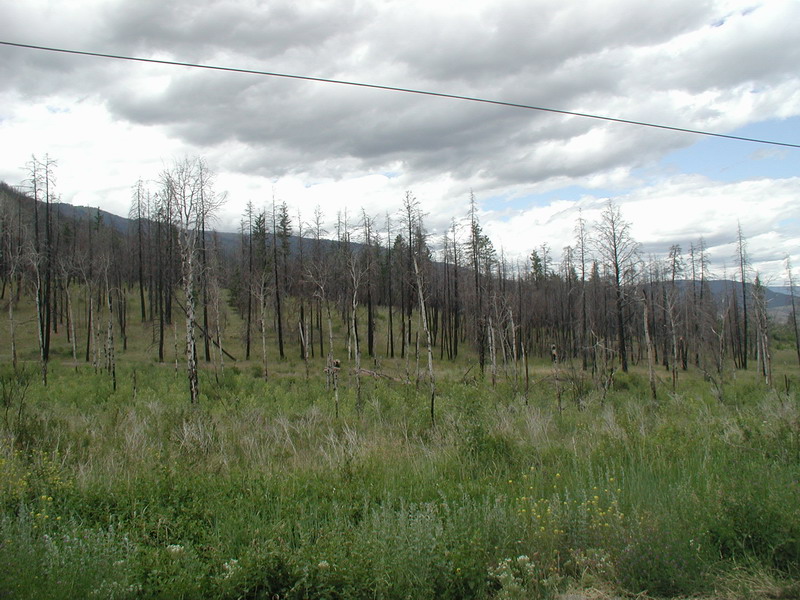
Further up the Hurley.
We stopped for lunch at Gwyneth Lake.
It was a nice spot, but very windy.
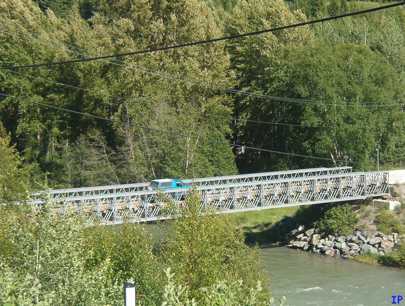
Crossing the bridge into Gold Bridge.
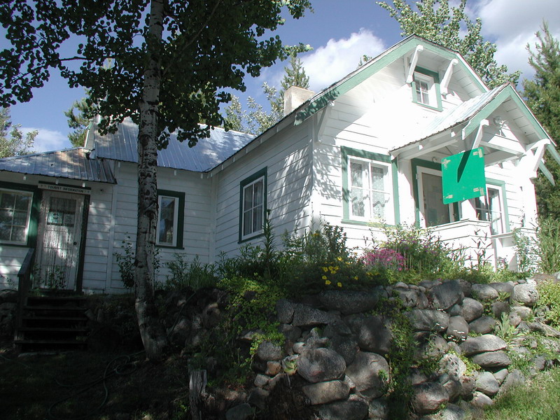
The Gold Bridge tourist centre.
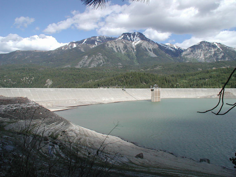
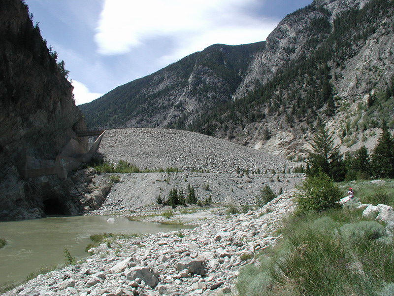
Lajoie dam.
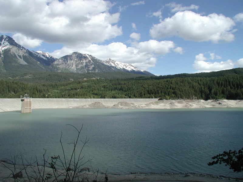
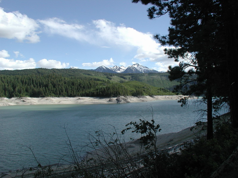
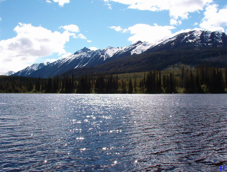
Downton Lake.
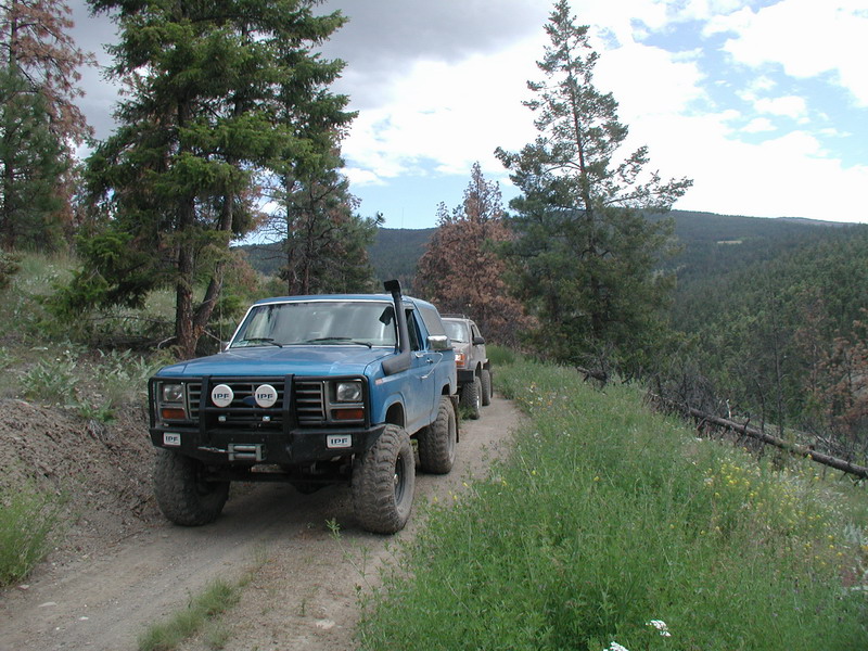
We drove around the Northwest side of Gunn Lake and came
down this trail towards the West side of Carpenter Lake.
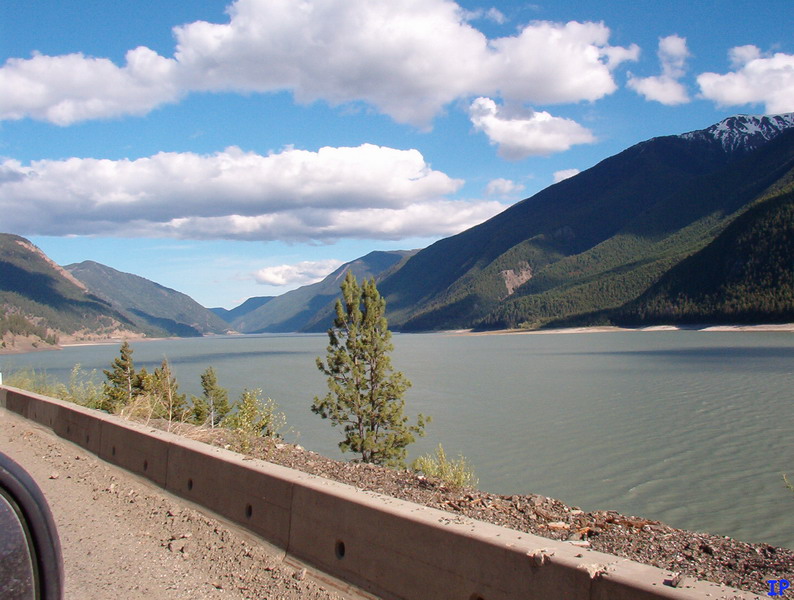
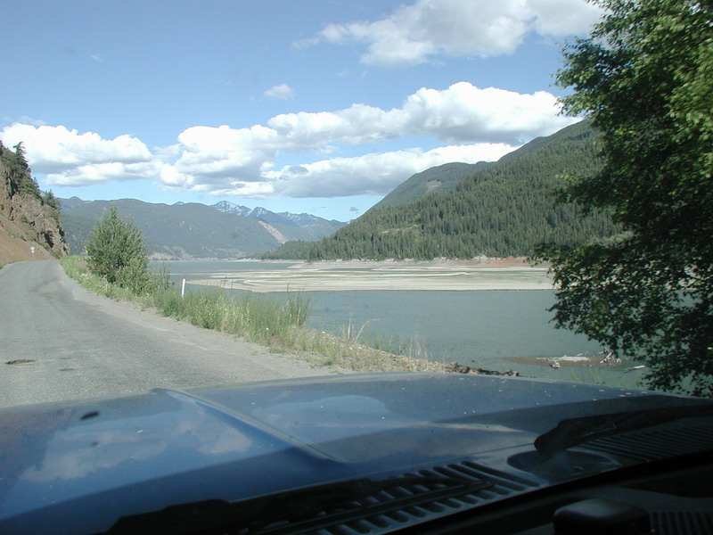
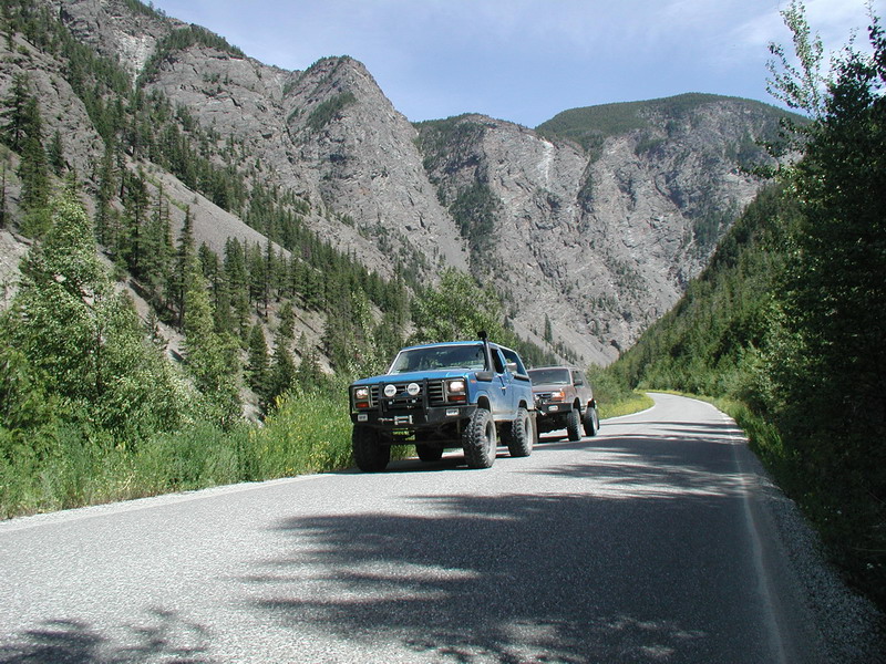
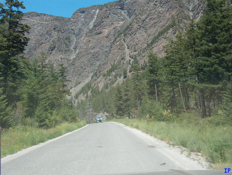
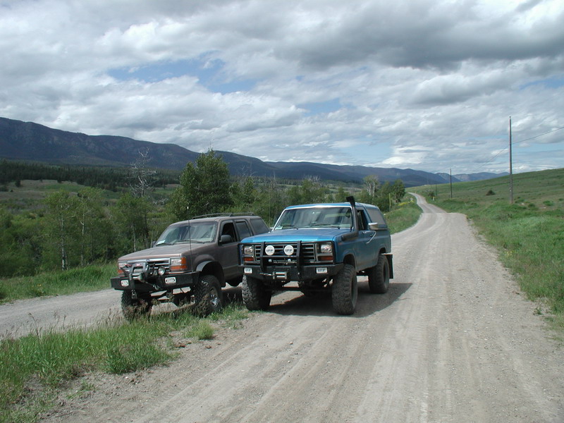
Heading East along Carpenter Lake.
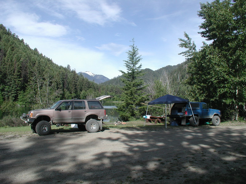
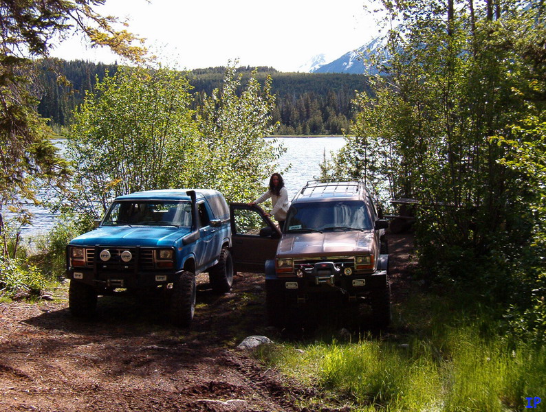
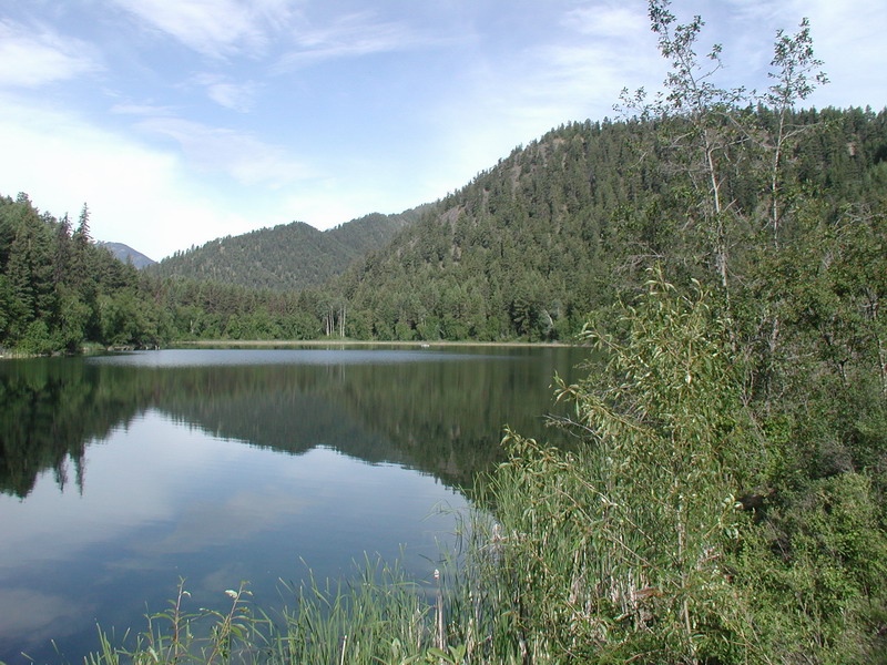
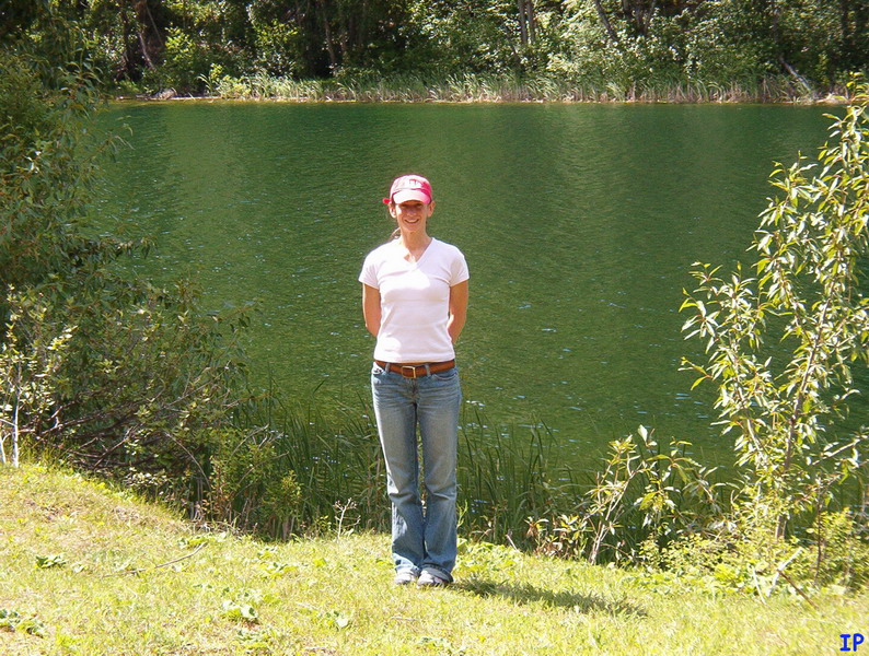
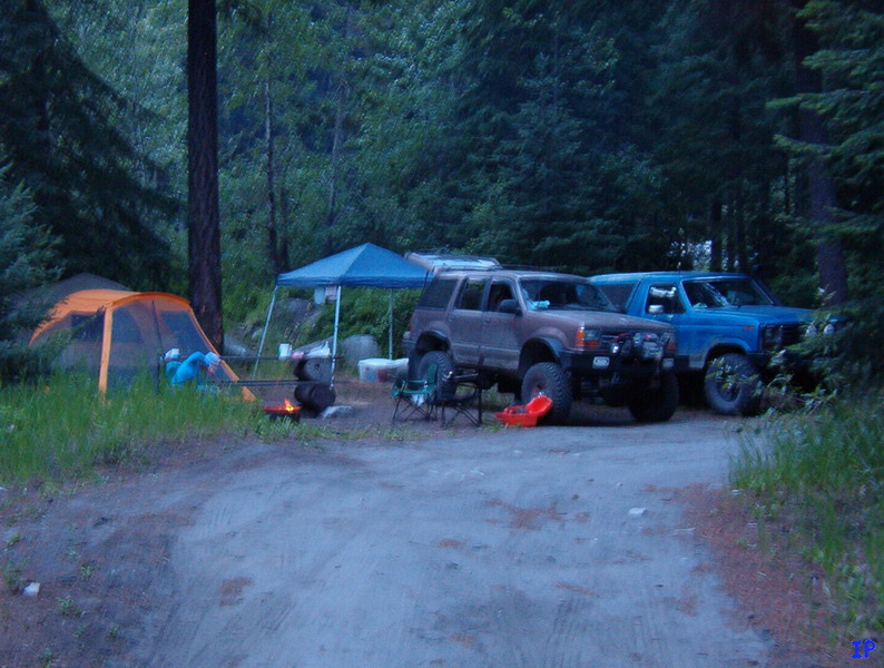
We spent the first night at Carol Lake.
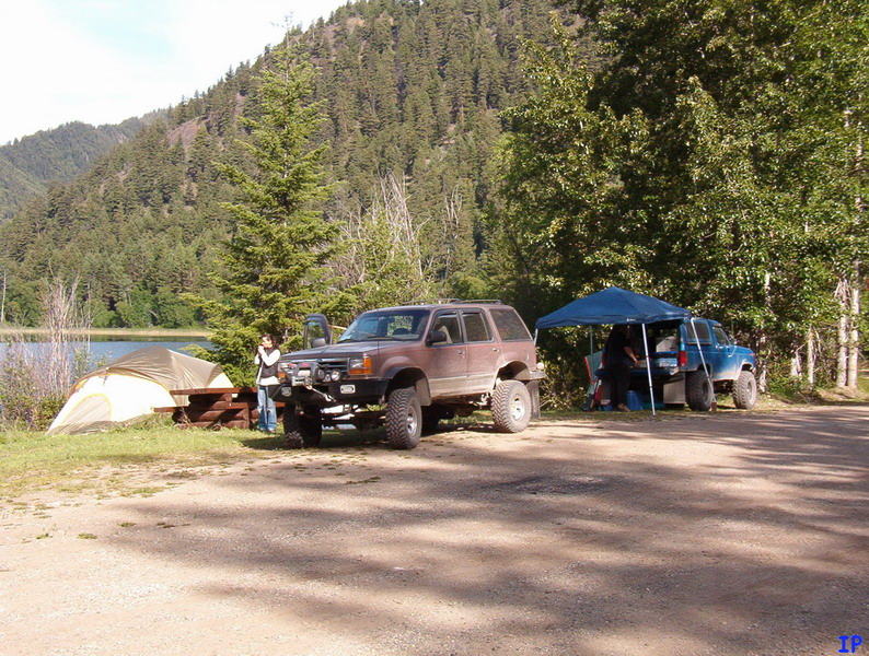
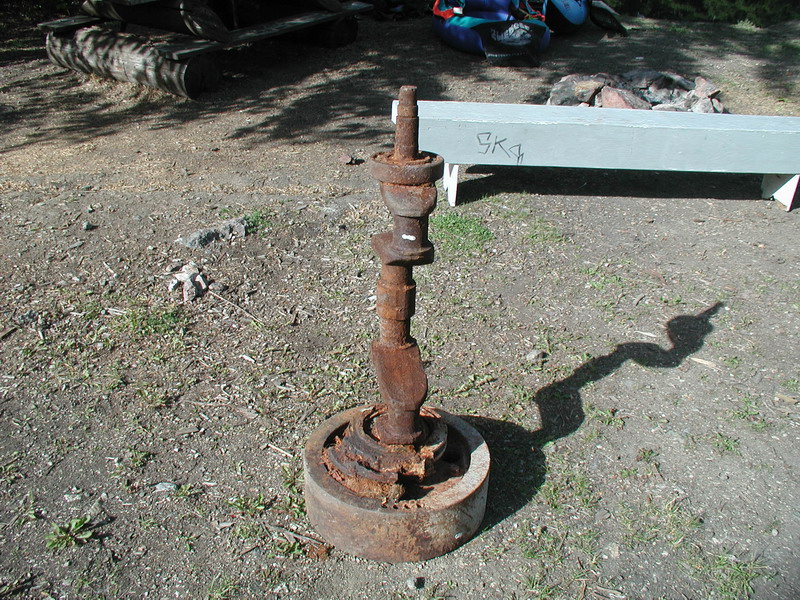
I saw this by the boat launch. Not sure what it was.
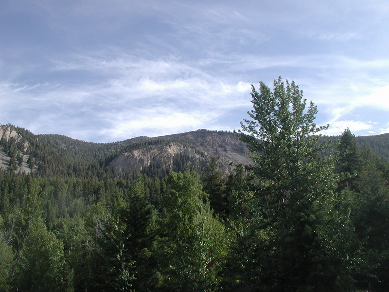
The mountains to the North of us.
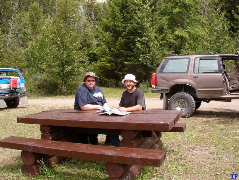
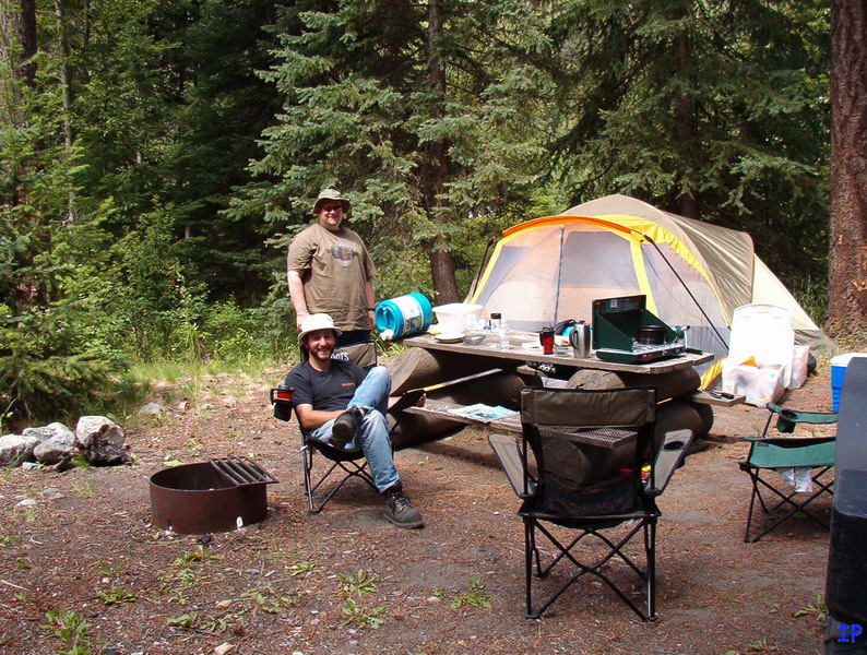
Planning day 2.
The plan was to head along the Bridge River road into Lillooet, then get on the Duffey Lake road to find a place to camp.
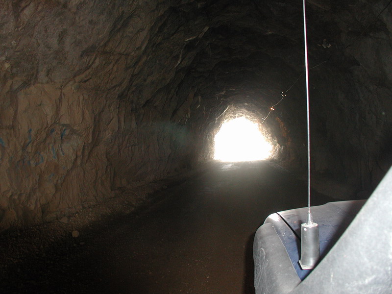
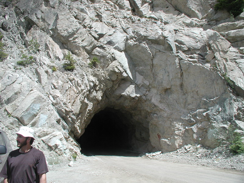
Entering the tunnel at the Mission Dam.
The South side.

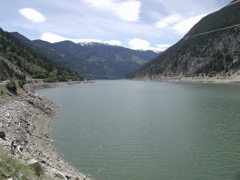
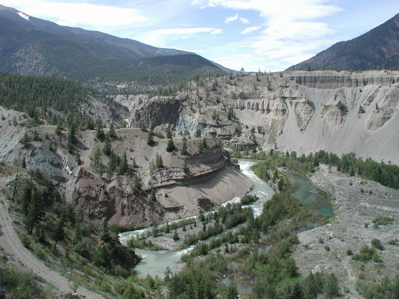
Looking West up Carpenter Lake.
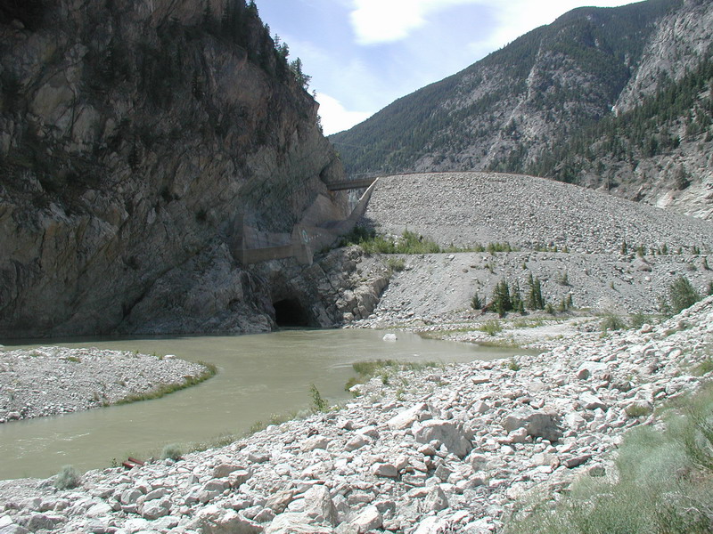
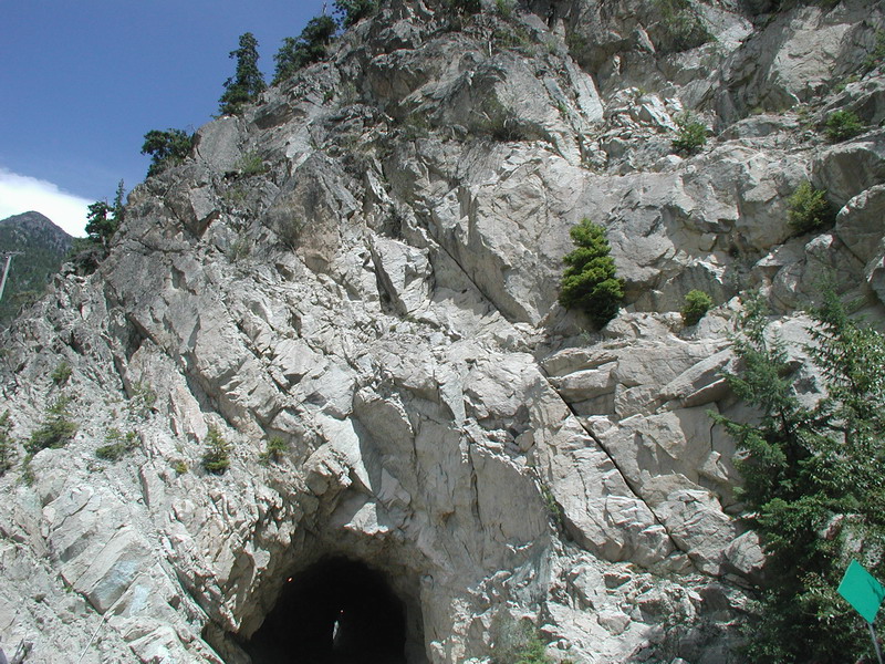
Looking up at the Mission Dam.
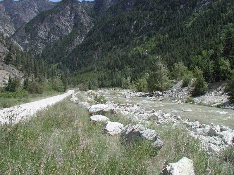
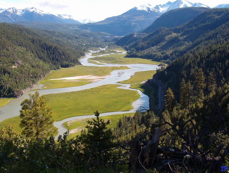
Looking East down the Bridge River.
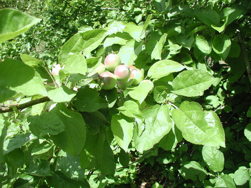
Found a bunch of apples growing in the brush.
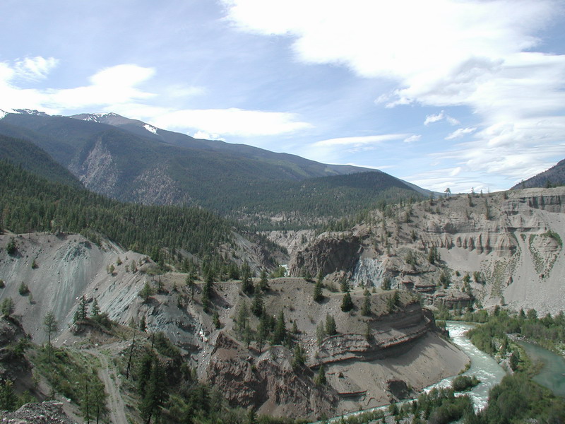
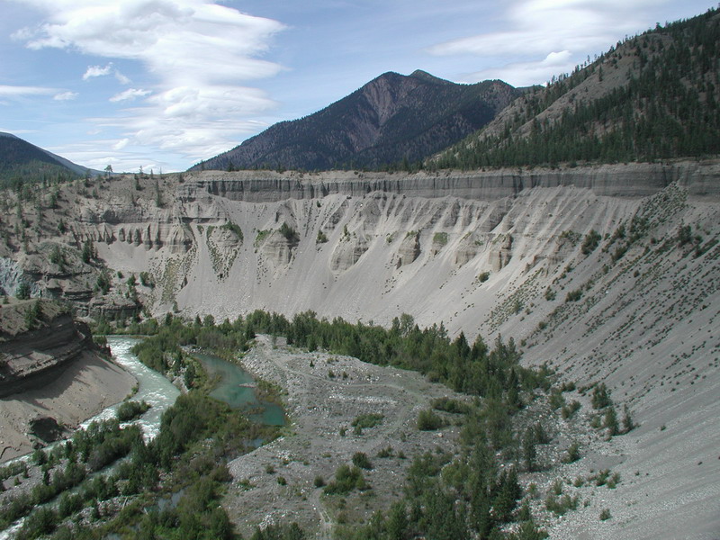
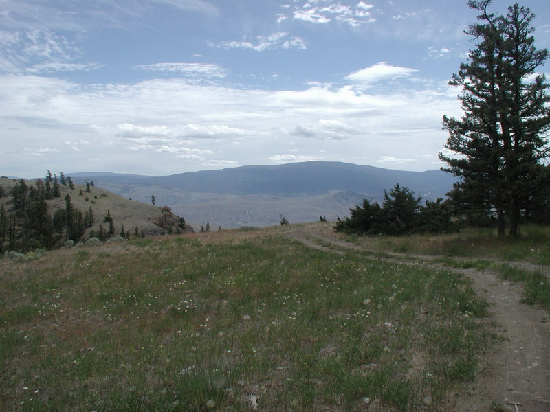
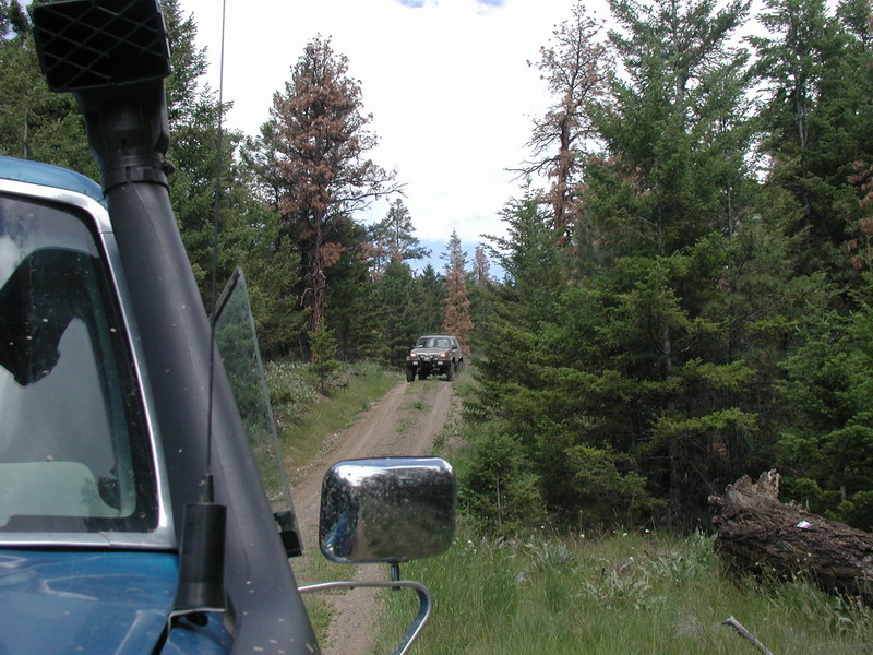
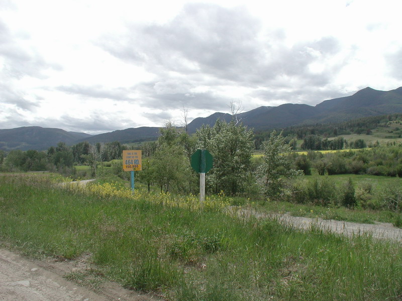
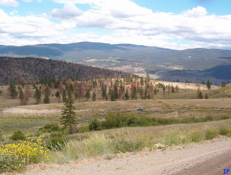
Further down Bridge River road.
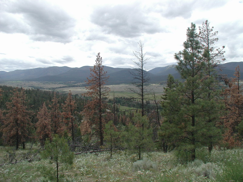
The top of Horseshoe Bend.
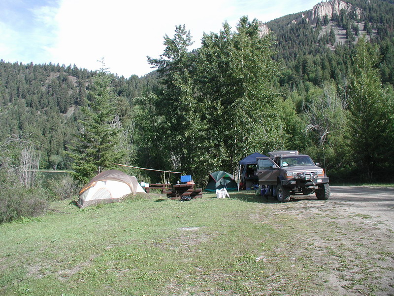
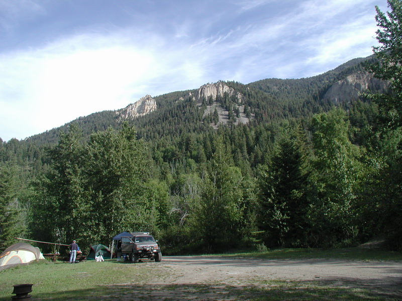
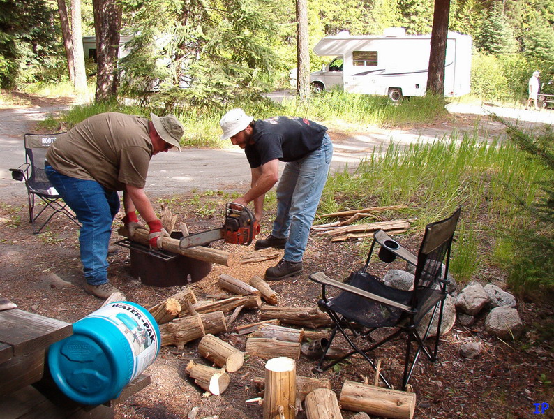
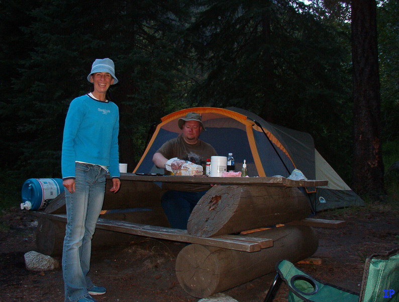
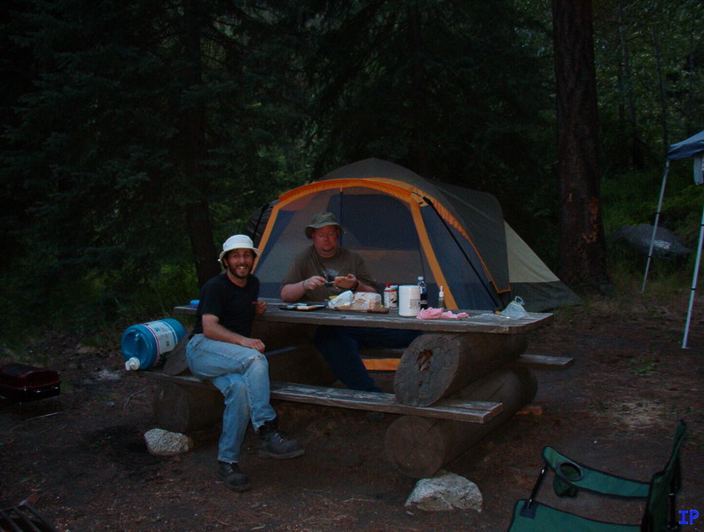
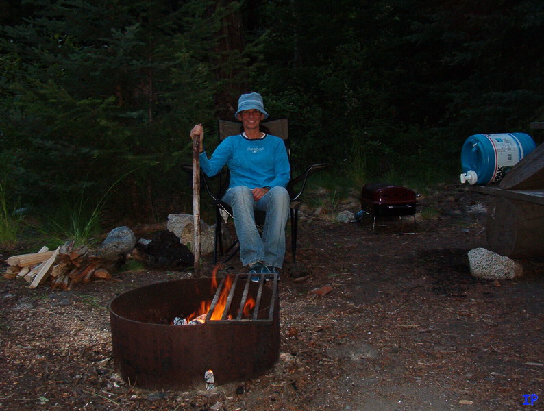
Our camping spot for the next two nights.
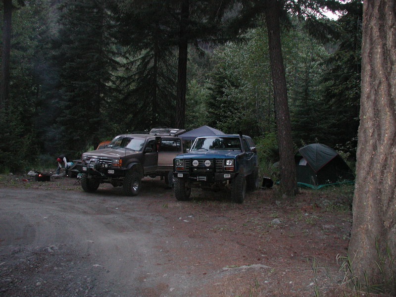
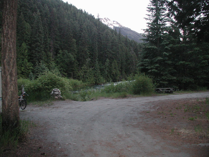
We had a nice view of Cayoosh Creek.
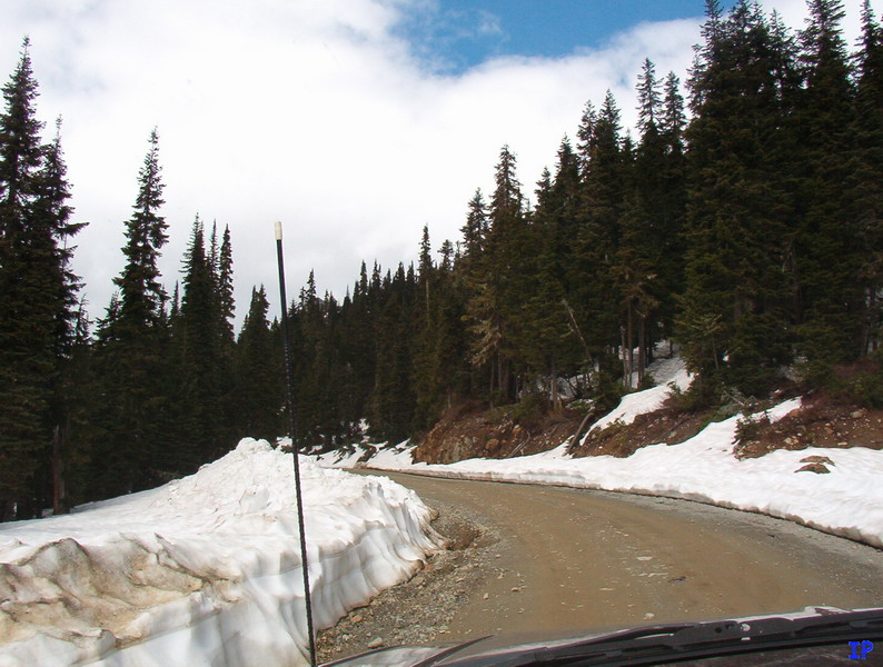
For the drive home, we planned on heading back to Lillooet and take Hwy 99 to the Hat Creek FSR, and follow
it South, then get onto the Botanie FSR, where it was supposed to come out just north of Lytton. The first mistake
was that I thought there would be a gas station somewhere between Lillooet and Hat Creek. I was wrong! We then
drove into Cache Creek for fuel, then got onto the Cornwall Creek FSR to get us back to Hat Creek.
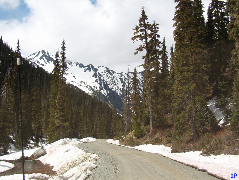
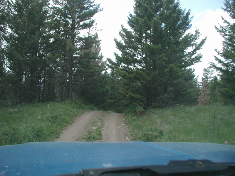
Heading up Cornwall Creek FSR.
The road quickly changed from a well used FSR to a rarely used rancher road. I took a wrong turn by using the
road condition as a guide, so we turned around and I used the compass on the GPS to keep us heading West.
Looking down towards Hat Creek.
Upper Hat Creek.
This is where the fun ended. The only two roads that kept us heading South were clearly marked "Private Property" and "No Thru Road".
Being that we didn't want to get hunted down by some cattle ranchers, we took the only thru road, which took us East, back towards Hwy 1.
The East side of Oregon Jack Provincial Park.
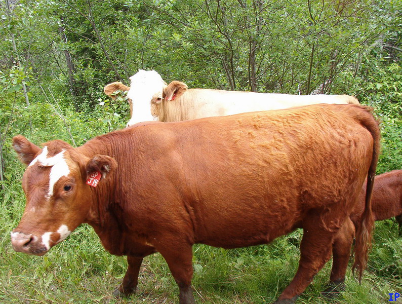
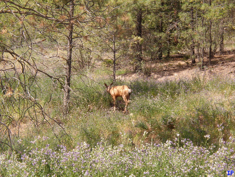
We ran into a few of these guys along the way down. We also ran into the rancher (on horseback) a few km down the road.
Coming down to Highway 1 on Hat Creek road.
Time to air up and hit the highway. It was muggy!
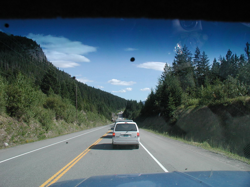
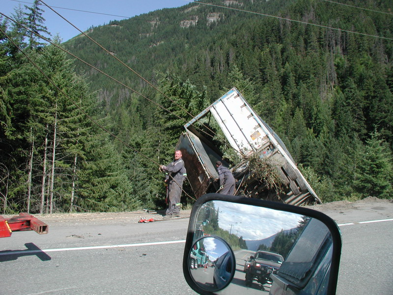
We had a short break between Lytton and Boston Bar.
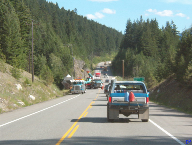
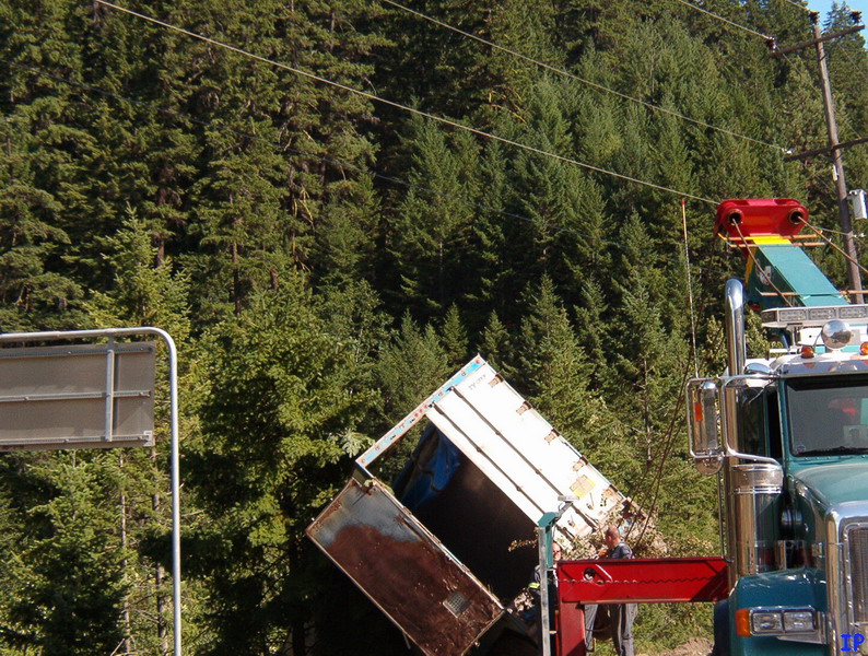
A rig drove right off the road.
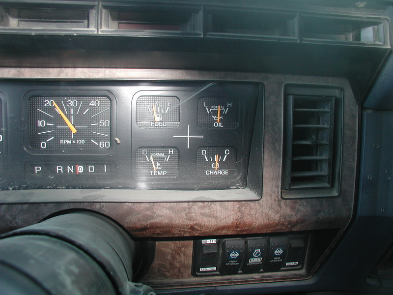
We were talking engine temperature over the weekend, as we both thought we were going to over-heat
on some of the climbs, so I took a picture of where my temperature guage normally is.
We stopped in Hope for some dinner, then made for home after this 1050 kilometer (630 mile) trip.
We all had a good time, and saw some beautiful BC scenery. I look forward to doing a trip like this again!